What it is
DaedalMap is for people who need answers about locations, regions, and events without assembling a GIS workflow first. One product family across map exploration, Research mode, agent access, and bring-your-own-data workflows.
 DaedalMap
DaedalMap is an open geographic query engine with a map-first interface. Ask a location-based question and get an answer grounded in maintained, source-documented packs. The same engine supports hosted use, Research mode, agent access, and self-hosted deployment.
DaedalMap is for people who need answers about locations, regions, and events without assembling a GIS workflow first. One product family across map exploration, Research mode, agent access, and bring-your-own-data workflows.
Public geographic data is often technically available but operationally fragmented across portals, formats, geographies, and update cadences. DaedalMap makes that terrain navigable.
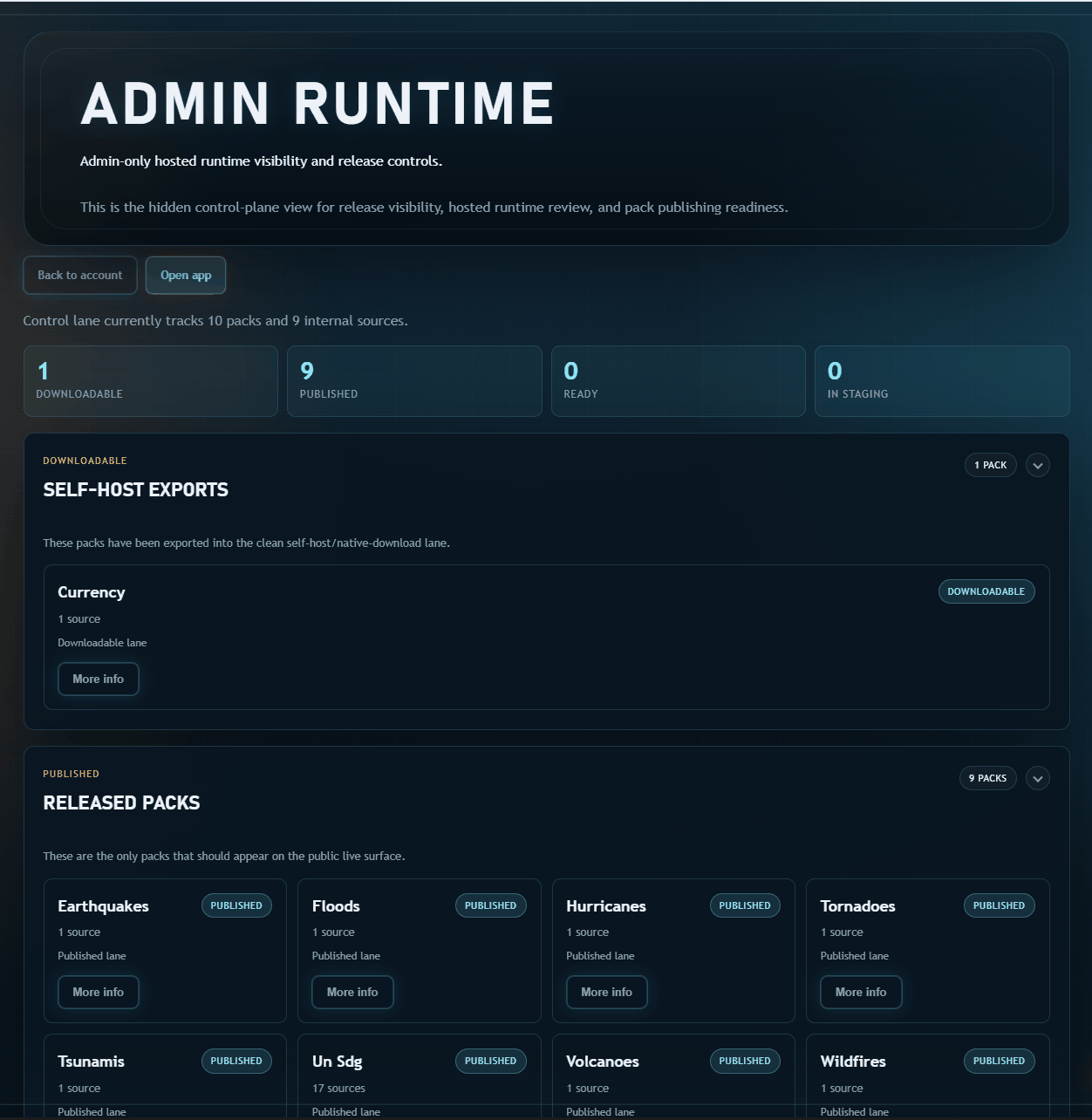
The engine and schema model stay open. Understand how the system works and make your own data compatible if you want to run it locally.
The commercial value is not ownership of public data. It is the maintained operating layer: source curation, converter maintenance, schema cleanup, metadata, QA, packaging, freshness, and support.
Disasters, demographics, economics, climate, and risk stay queryable in one system. The same engine supports map exploration now, deeper Research workflows next, and later operational views without changing the core data model.
Ask a question, load a corpus, inspect the source, and continue into analysis.
Who it is for
DaedalMap is for people who need geographic answers but do not want to live inside shapefiles, disconnected portals, manual joins, or a custom GIS stack just to answer one practical question.
Use the system to move across disaster, demographic, economic, and risk questions without building a fresh workflow for every domain.
Get a working map product with maintained data instead of a directory of sources or a promise that the tooling exists somewhere in the repo.
Start with the hosted surface, then move into local or self-hosted use when privacy, performance, or offline operation matters more than convenience.
Keep the option to inspect the engine, understand the schema model, and bring your own data instead of getting trapped inside a sealed platform.
Who it is by
DaedalMap is built by Bryan Hellard. Background in Robotics and Systems Engineering, with a focus on disaster impacts, response, and making geographic data accessible for informed decision-making.
Browse the source map to understand which source families are strongest, where the maintained paths are deepest, and how coverage is packaged.
The pack schema is open. Bring your own datasets into the same runtime alongside maintained packs.
One product path
The engine is open, the schemas are public, and the pack model is inspectable. The paid value is the maintained operating layer: source curation, converter maintenance, schema normalization, QA-gated releases, and pack freshness. That work is done so you do not have to do it.
The hosted app is the easiest entry. The same product path includes Research mode, agent access, local installs with 2x to 6x better performance, and self-hosted deployments for private workflows.
Local install
The local version runs entirely on your machine with no hosted lag, no cloud dependency, and no per-query API cost. Install the packs you need, work offline, keep your data private, and get 2x to 6x the performance of the hosted app. Add an optional local AI model and remove the last cloud dependency entirely. Leave your email and we will let you know when local install updates and major Research-mode milestones are ready.